At the second day of North Food event I attended to Juho Kotala’s presentation of his ongoing research on aerial drone photography in crop monitoring. Although he’s very busy with his research he kindly agreed to meet me and show his work in a bit more detail than he could do in his presentation.
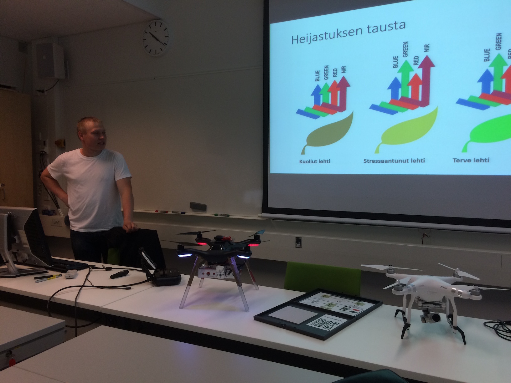
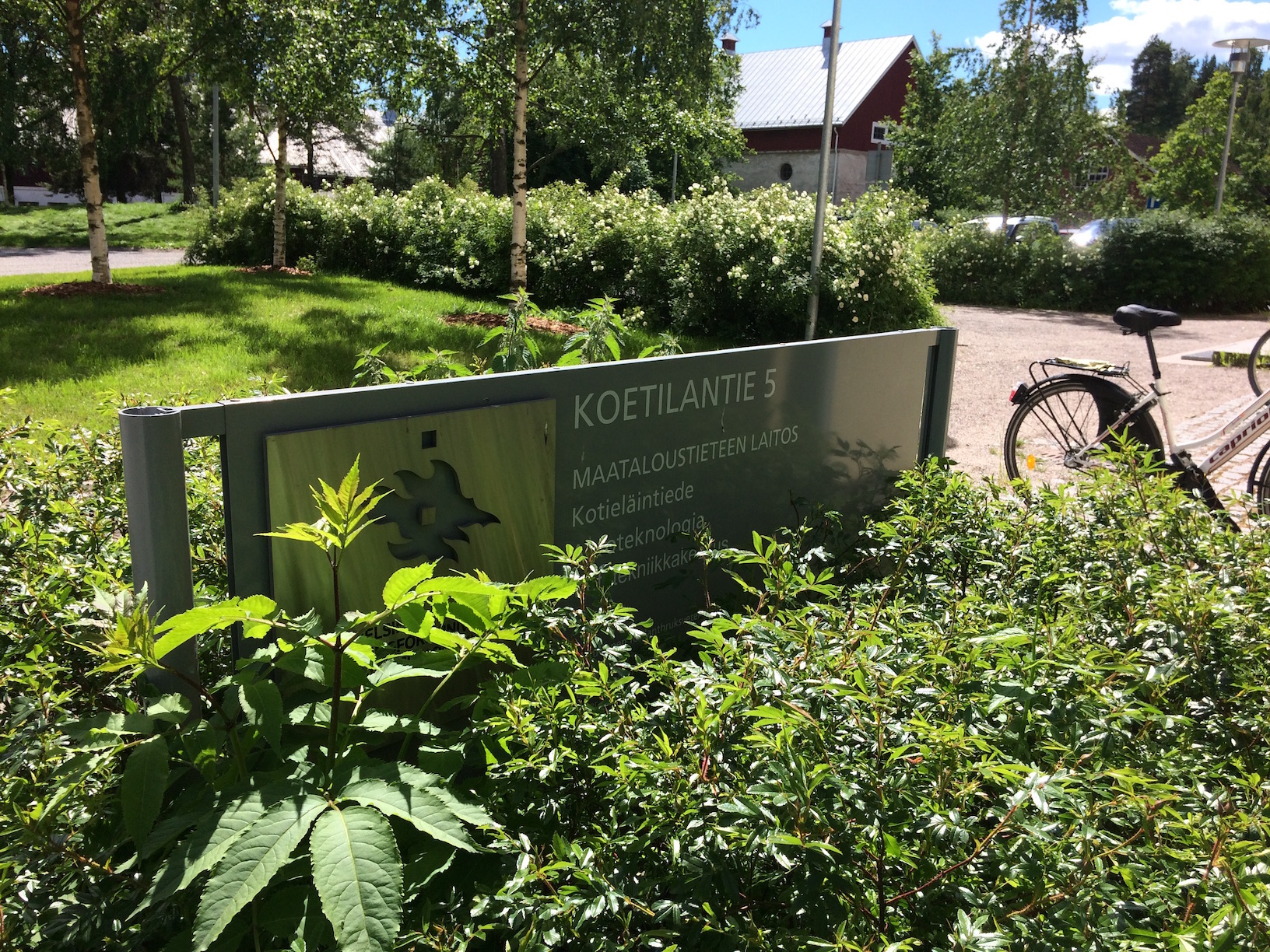
We met at Helsinki University’s Department of Agricultural Sciences at Viikki campus. While my knowledge of argotech is rather limited -which is kind of the point of doing this in the first place- he guided me through some key aspects of his work and I left with a much more detailed image of what can and can not be done with current technology.
I had a rather enthusiastic, starry-eyed even, vision of how multispectral drone photography could pretty much lead a revolution in crop production and everyone could enjoy massive amounts of cheap, accurate, up-to-date data of their crops. After Juho had run me through the real deal of the work, the data, the implications and the conclusion, well, damn. So much that I’m still debating should the title of this post be “Everything Is Hard And Nothing Is Easy”, but I’m uncertain of the capitalization.
While a drone can be programmed with a commercially available software (and there are MANY) to fly a specific flight path and take pre-programmed photos, one needs practice with the software, camera(s) and the practicalities of drone flight to name a few. Unfortunately neither can one simply walk into Mordor nor shoot cool pics with a drone to get actionable data. In order to have the drone and the camera to collect the images in a repeatable and reasonably reliable way all equipment needs to be carefully calibrated and the flights need to be conducted preferably in the same time of day, with as similar weather conditions as possible. If you’ve visited the great outdoors in any capacity in your life you probably see the problem here. Any deviation may yield very different measurements and that in turn need to be taken into account when reviewing the results. Those deviations and inconsistencies in the data bring in the need of an experienced reviewer and that particular kind of experience may be hard to learn even on one particular field, let alone generally. Especially in a place like Finland, where soil differences can be so big that virtually no two fields behave the same way. I’ll place my bets on AI and machine learning in near-ish future, but there’s more in the present. A lot more.
So there’s a lot of pictures gathered from each flight. If I noted Juho’s estimates correctly, there can be approximately 3000 high-res pictures for just six hectares of field. Flight level is also playing a factor here: the higher you go, the more you can cover with one picture -but with the cost of accuracy and resolution. In any case, the pictures need to be transferred from the drone / camera to a computer that will patch them to a single multilayered map. That computer needs quite a bit of processing power to do it in any reasonable time, like in a day. For example, Juho is using a reasonably powerful laptop to accomplish this and for one equally reasonably small field the stitching of images into one map can take about twelve hours of processing power, all out.
Of course, cloud servers are pretty nifty and come almost cheap these days but arises the question of data transfer, along the need for know-how of setting one up. Moving that amount of data is still not fast or convenient. Especially when most of fields to be analyzed are in areas where the cell network may be 1G or 2G at best and the “broadband” connections come with quotation marks so big you can use them as scarecrows. My own hunch is that the fastest, most reliable way to get the data for processing is to take the camera, drive it to the computer and get it done yourself.
I’m saying “yourself”, because growing crops is not such a profitable business that people would have the time or employees to drive to a big city for this kind of service. So there’s a need for local computing power. Although that can be arranged: a higher-end PC should do the trick. Another reason to do image processing and analysis locally is that the situation on the field (a pun so intended it hurts) changes fast -and this is where things get really hard. So much so that the previous steps to get your hands on some reasonably reliable data seems like a walk in the park.
Juho showed me two pictures of one field made from image data gathered on two separate flights just 5 days apart and the differences were remarkable. As a layman, I would have guessed the time interval to be around two months. Furthermore, one cannot just gather data whole summer and expect to use it next year as a reference, even as an approximate one. The field will be very different place next year, not to mention weather conditions. So for the data to be useful and even somewhat actionable, one needs to have it processed and interpreted within two days, give or take. He also noted on several occasions that while the image can show -among other things- the approximate plant biomass in near-infrared image and leaf color differences indicating plant’s stress levels, the image can’t point out the actual cause of plant’s condition. My notion is that it can only be guessed at, where the experience and knowledge of the said field’s history and current conditions come in. I don’t think that pretty much anyone besides the farmer working on that field has that kind of expertise.
All this leads to conclusion that to get actionable data with drones these days, a farmer needs to be rather computer / tech savvy, have several thousands of euros to invest, have a month or two of time to practice (full time, not just free evenings) during growth season and have time to conduct the flights on several sizeable fields on weekly basis. Plus evenings to analyze the data from each flight. A show of hands, please? Thought as much.
So could this be a business? It can only be done locally and needs to be done often and diligently for effect. Juho estimated that the price point of max one to two euros per hectare, which may be a problem. Anything more would not really sell because the information would just be an addition to what farmers already kind of know, not a game changer. Therefore, he thinks that drone photography could be a handy additional tool for field and crop analysts and his own estimate we could be seeing real commercial crop monitoring products in next, say, two to five years. But currently, he is to his knowledge the only person around nordics, possibly Europe, doing research on the subject.
Just please try not to flood his email and phone just now, he’s very busy with the research and he will publish the results as soon as possible. Besides, I still need / want to get a formal interview from him for my thesis.
T
Leave your Message here...